Back to the City Home Page
 City of Anderson, SC - GIS Department

City Hall

Linley Park
The City of Anderson strives to provide the most up-to-date, accurate information for use by the general public, City employees, GIS professionals and other users! Here you will find links to interactive web mapping applications, printable .pdf maps and a link to the City's Open Data download portal.
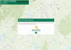 Interactive Web Mapping Applications make it easy to view and print custom maps from data that you select! These applications provide information from contour lines to zoning and scale from city-wide to site specific.
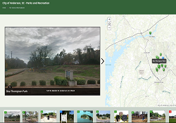 The City of Anderson is currently creating story maps designed to highlight a variety of topics. Explore maps of City Parks, Historic Properties, History of Anderson (more coming soon!).
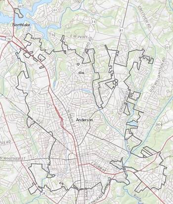
 There are currently over 40 datasets available for download. These are being created and updated as soon as new data becomes available!
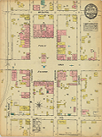 Learn about the history and role of GIS in Anderson, SC! View and compare historic maps from 1884, 1890, 1896, 1901, 1911 & 1918 with the Historical Map Viewer or view individual .pdf maps here.
401 South Main St.
Anderson, SC 29624
Phone: 864-260-4235
Email
Monday - Friday: 8:30am-5pm